NAVSTAR
NAVSTAR

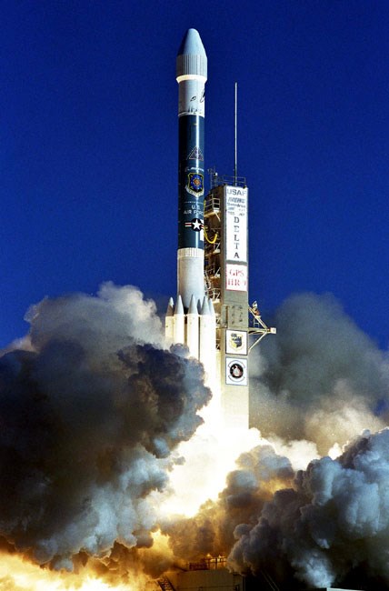
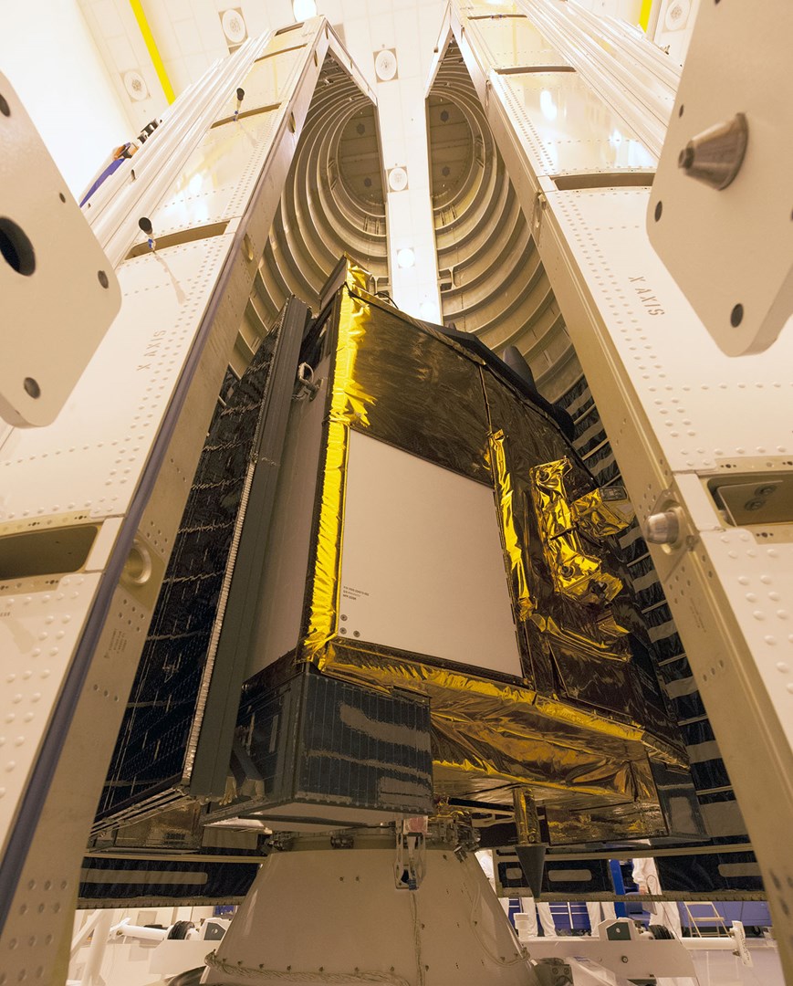


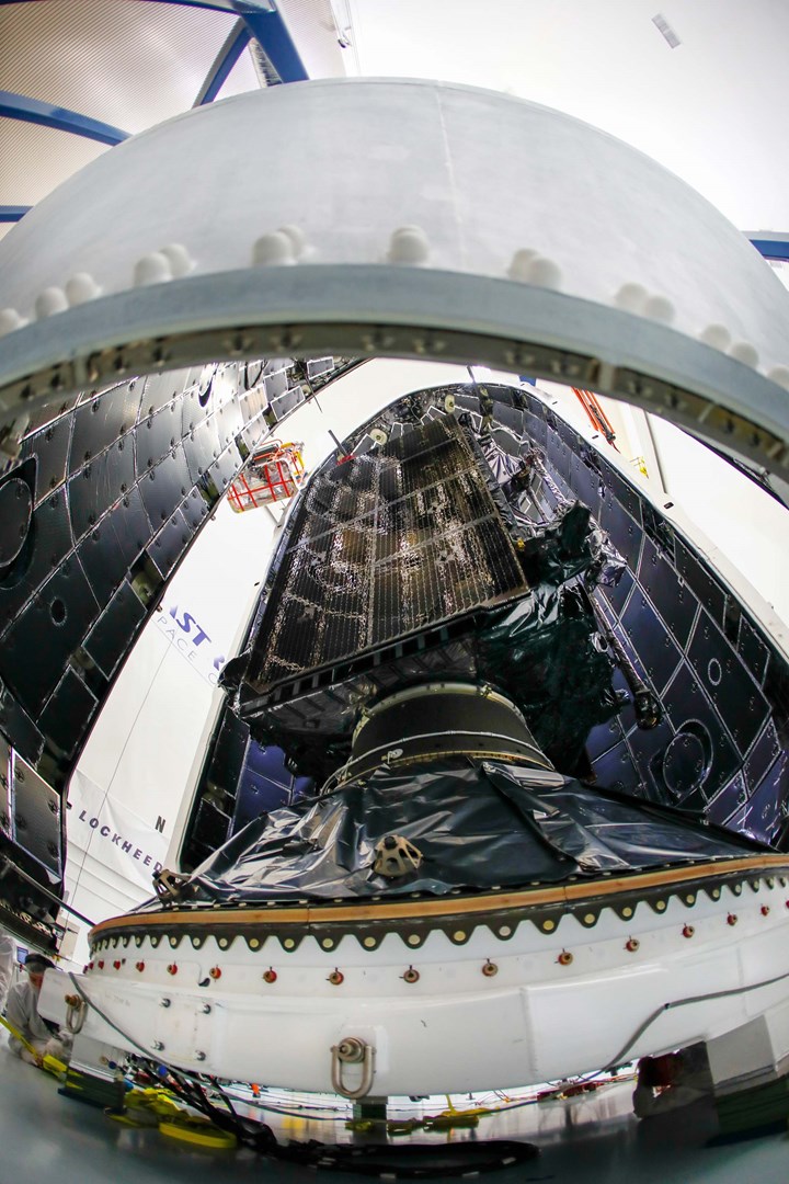

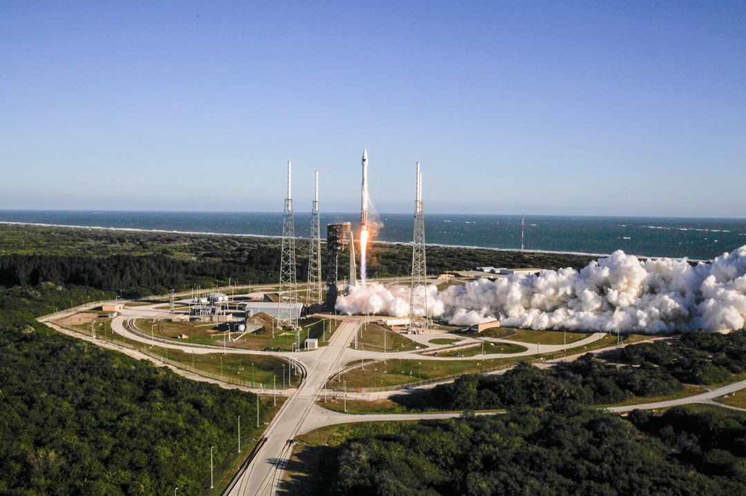
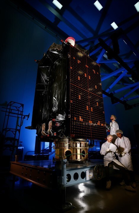
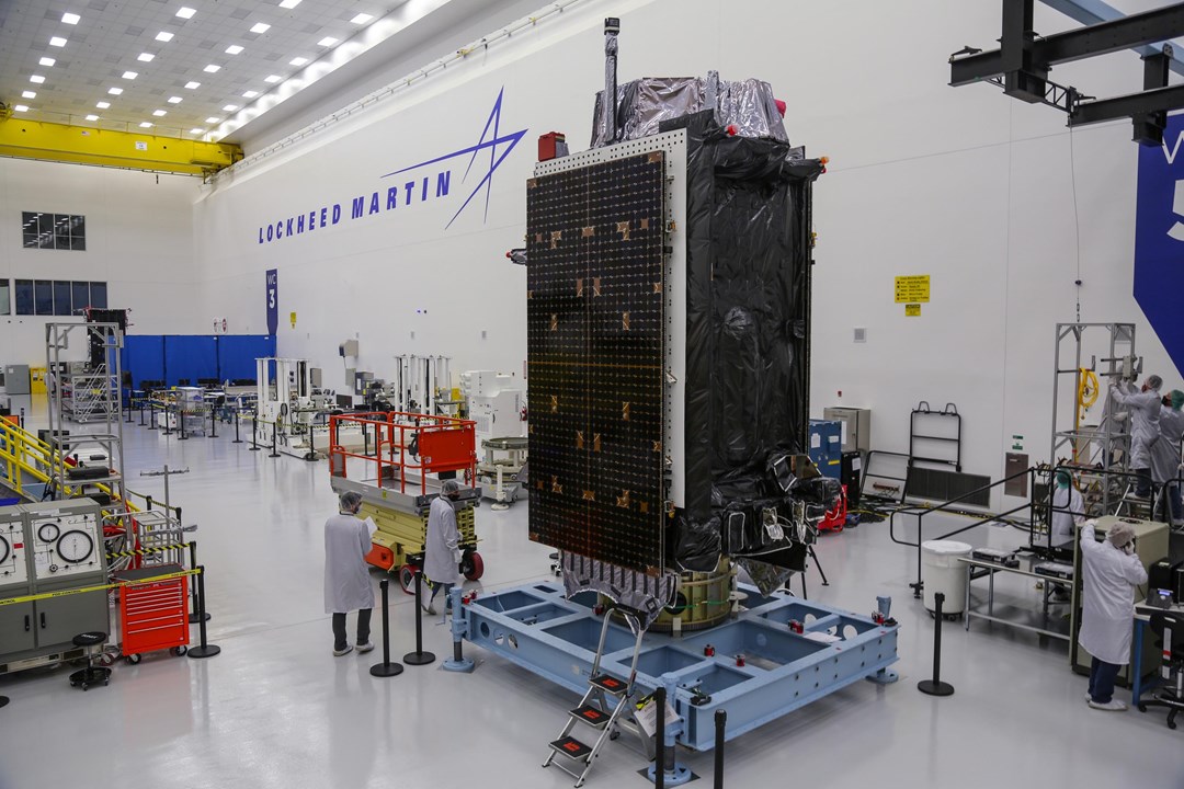

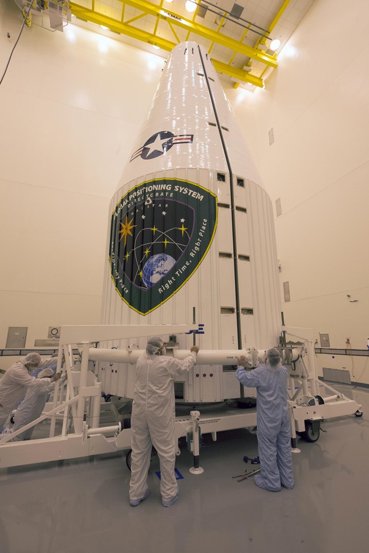
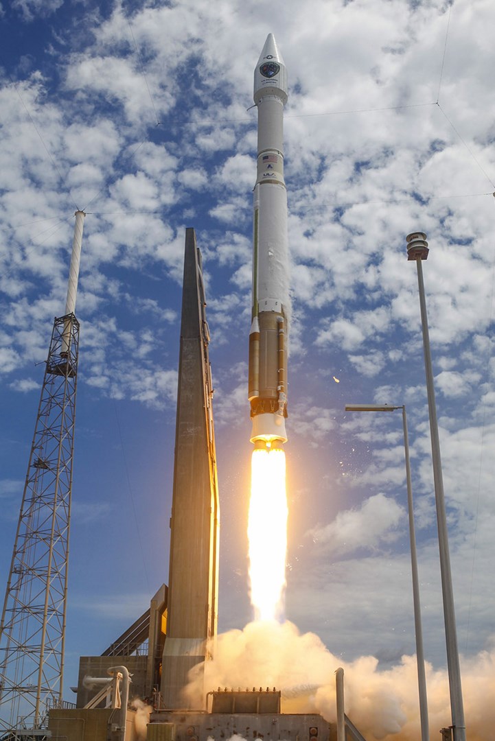
The GPS satellites developed under the NAVSTAR program allows any properly equipped user to determine precise time, velocity and worldwide latitude, longitude and altitude to within a few meters. Originally was designed to be an accurate guidance and navigation tool for the military services but it has been adopted by civil and commercial customers for transportation, surveying and rescue operations. The first GPS Block I spacecraft was put into orbit on February 22, 1978. In the past, the GPS constellation spacecrafts fluctuated from 2-18 to 21 but currently the GPS constellation owned by the United States Air Force consists of 27 satellites (24+3 spares). As of 2004, the US Air Force GPS constellation consists of six planes, each one containing at least four satellites operating 24/7. Redundant satellites are being launched as spares to counterbalance attrition. The GPS is transitioning into the 2020s and the 2030s with the GPS Block III and Block IIIF satellites.
deagel.com: https://www.deagel.com/x/x/a000238